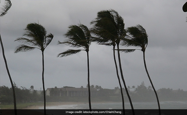
A low-pressure system over the Bay of Bengal is expected to intensify into a severe cyclonic storm, Remal, by Sunday evening, the India Meteorological Department (IMD) has said. The weather system will turn into a depression over the central Bay of Bengal by Friday morning (May 24), according to IMD scientist Monica Sharma.
It will then strengthen into a cyclonic storm by May 25 morning, and by evening of May 26, it is expected to reach Bangladesh and the nearby West Bengal coast as a severe cyclonic storm, reported MoneyControl.
It is likely to coincide with the sixth phase of Lok Sabha elections in West Bengal on May 25, when the state votes for eight constituencies.
Wind warning
The IMD has issued a wind warning for multiple regions. On May 24, squally winds with speeds up to 50-60 kmph, going up to 70 kmph, are expected over the central Bay of Bengal.
Moving ahead, from the morning of May 25, wind speeds will extend to the surrounding areas of the North Bay of Bengal, reaching 60-70 mph to 80 kmph, authorities say.
By May 26 morning, wind speeds are forecasted to increase even more, peaking at 100-110 kmph, with gusts up to 120 kmph, primarily over the North Bay of Bengal.
Winds of 40-50 kmph, gusting to 60 kmph, are also expected along and off the coasts of Bangladesh, West Bengal and adjoining North Odisha from May 25th evening.
The Andaman Islands will also experience winds with speeds reaching 40-50 kmph, gusting to 60 kmph.
ALSO READ | West Bengal Braces For Cyclone Remal: Dos And Don’ts To Stay Safe
Heavy rainfall warning
The IMD has also issued a heavy rainfall warning for May 26 and 27. In the coastal districts of West Bengal and adjoining districts of north Odisha, light to moderate rainfall is anticipated at most places, with heavy to very heavy rainfall expected at isolated locations.
Similarly, in Mizoram, Tripura and South Manipur, light to moderate rainfall is forecasted at most places, with heavy to very heavy rainfall likely at isolated locations on the same dates.
Orange alert
The IMD has issued an orange alert for several districts, including Kolkata, Howrah, Nadia and Jhargram, due to expected light to moderate rainfall.
Over the past 12 hours, it has intensified into a depression and was positioned at 5:30 am on May 24th over the central Bay of Bengal. It is approximately 800 km south-southwest of Khepupara in Bangladesh and 810 km south of Canning in West Bengal, as per the IMD.
ALSO READ | Cyclone Remal To Reach West Bengal By Sunday, Heavy Rainfall Predicted In Odisha
Other updates
Sea conditions are expected to worsen due to cyclone Remal. By May 24 evening, rough to very rough sea waves are predicted over the central and adjoining South Bay of Bengal becoming high by May 25 morning and reaching high to very high levels until May 27 morning, according to the IMD.
The same is expected along the coasts of Bangladesh, West Bengal and adjoining North Odisha from the May 25 evening, becoming high on May 26 noon until May 27 morning. Fishermen are advised against going into these areas during this period.


